-
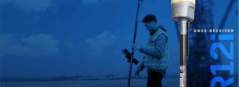
Trimble R12i
The Trimble R12i delivers unmatched GNSS performance, speed and accuracy to boost your productivity like never before. With improved performance in challenging GNSS conditions and robust IMU-based ti
-

Land Mapping & Survey Solutions Services.
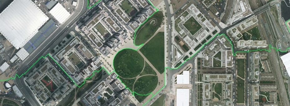
geospatial measurement and representation such disciplines as land surveying, photogrammetry, remote sensing (satellite imaging & laser scanning), GIS,GPS and civil engineering.
-
_(1)_930_340_c1.jpg)
Trimble TSC5 Controller
The Trimble® TSC5 controller is an Android-based survey controller featuring a five-inch screen and full keyboard—ensuring fast, efficient operation, even while wearing gloves.
-
-
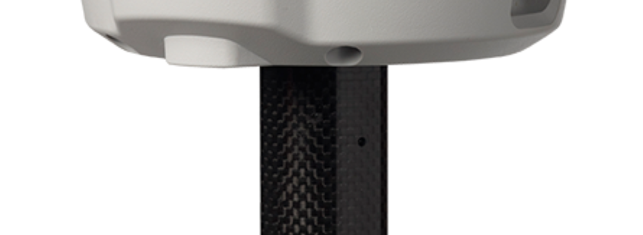
Trimble R2
Accuracy for your data. Versatility in the field. Flexibility for your workflow
-
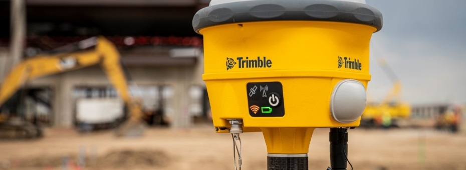
Trimble R780
Highly accurate GNSS system built to handle the toughest survey environments. Powered by industry-leading Trimble GNSS positioning technologies, the ultra-rugged elevates productivity in one adapter.


_104_89_c1.png)


