
_(1)_930_340_c1.jpg "Trimble TSC5 Controller")
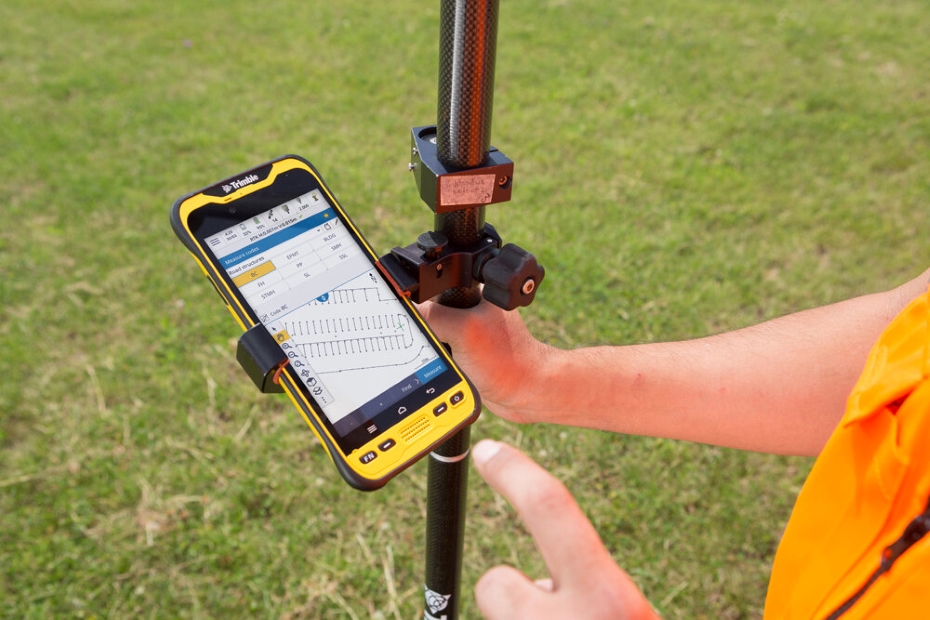
The Trimble® TSC5 controller is an Android-based survey controller featuring a five-inch screen and full keyboard—ensuring fast, efficient operation, even while wearing gloves.
Home » Products
The Trimble® TDC600 handheld is a sleek, all-in-one rugged smartphone with a built-in professional GNSS receiver. Designed for ease-of-use in a wide range of GIS and survey applications, the TDC600…
Read More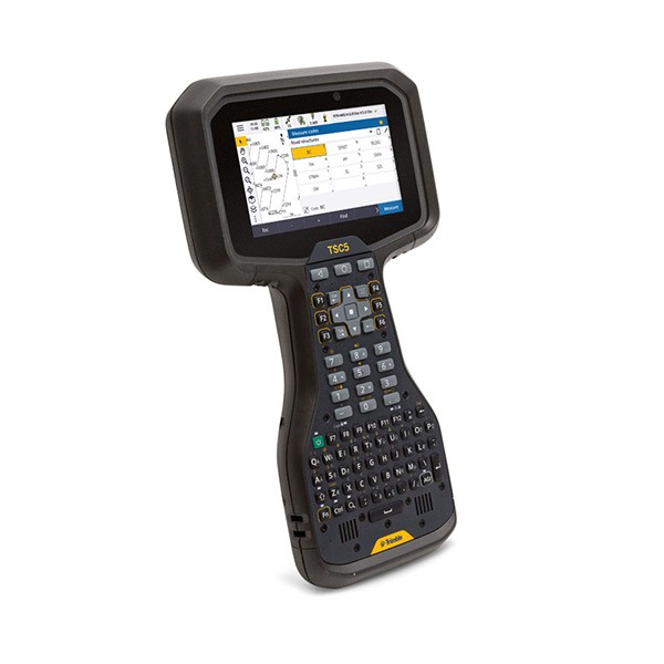
The Trimble® TSC5 controller is an Android-based survey controller featuring a five-inch screen and full keyboard—ensuring fast, efficient operation, even while wearing gloves. Rugged yet lightweight,…
Read More


