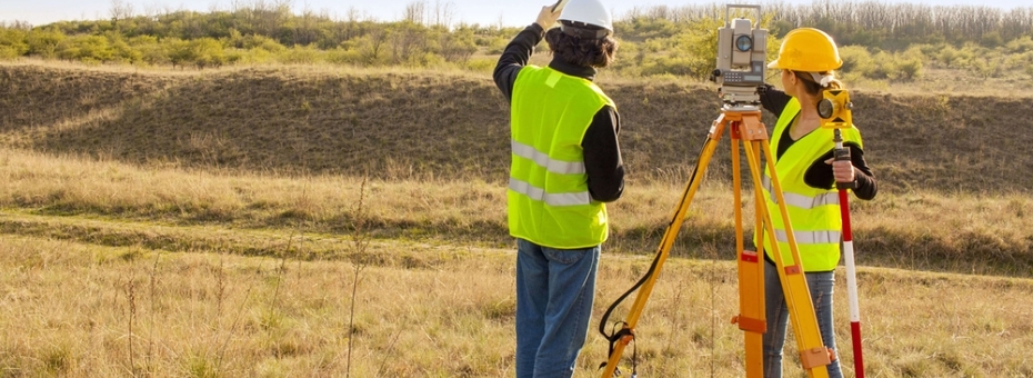
geospatial measurement and representation such disciplines as land surveying, photogrammetry, remote sensing (satellite imaging & laser scanning), GIS,GPS and civil engineering.
Home » Our Services
Geomaps has been offering aerial photography services for number of years and is able to offer leading edge end to end solutions. We operate across Eastern Africa with local chartered aircraft , We are self sufficient in all elements of aerial mapping and this offers advantages to the client including a timely delivery and a more cost efficient solution as we are on site in East Africa with all the expertise, hardware and software.
The Technology
Aerial Camera
Since the inception of Geomaps we have constantly improved the sensor technology used for its aerial survey and currently we own a medium format digital camera, the Applanix DSS 439, a leader in its class integrated with the Applanix PosAV system and Track Air FMS. The camera is an end to end solution and can be used in differing techniques depending on accuracy requirements. Namely image processing using a traditional aerial triangulation using ground control or rapid response processing using direct georeferencing.
Aerial Survey Aircraft
Using Cessna 182 and other like Cessna 206 Turbo we are able to operate and do most of aerial surveys, the C206T is used for high altitude surveys and has an 18” hatch and is also used around the region for aerial surveys
Our Products
Products derived from the aerial photography can include:
- Ortho Images
- Colour balanced Orthomosaics
- Digital Terrain Models (enabling contour generation)
- Digital Surface Models
- Possible applications of the above products
- Mapping and GIS
- Surveys
- Emergency Services
- Security Management
- Urban & Rural Development Planning
- Real Estate and Property developers Management
- Environmental Management
- Infrastructure Mapping (Transport, Telecommunications, Power and Gas)